Gloomy was the afternoon that day! However, according to the forecast, there would be no chance of rain. So, I checked the places I’ve saved on my Google Map “To Visit” folder and picked one that’s within an hour away from home.
The Ohio Horseshoe Falls was the best destination I thought, as I preferred to have a little hiking trip that day. And there it went, an afternoon at the falls!
The drive was less than 40 minutes. According to the address online (Google maps, official website, etc), Ohio Horseshoe Falls would be an easy access from North Clarksville Road. I expected that the address would lead me to the entrance of the waterfalls with a space for parking. However, this was not the case. The GPS led me to the side of the road closest to the falls, perpendicularly. See the screenshot below.
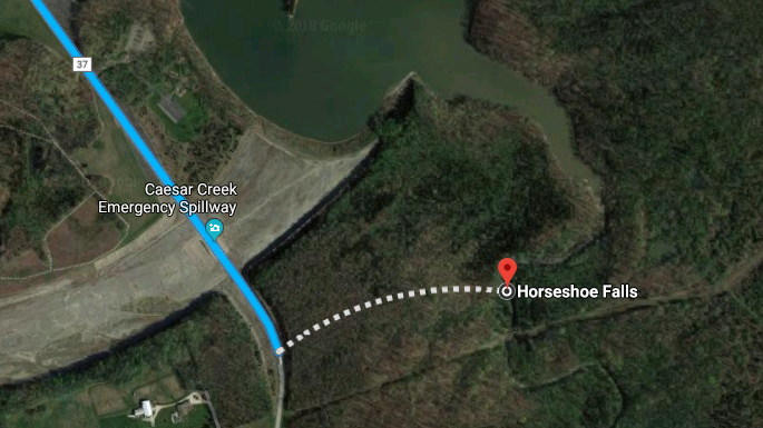
I had to go back half a mile, drove slowly, and then saw a couple of cars stopped at the Caesar Creek Emergency Spillway. I stopped too and asked for direction. I was told that the spillway is one of the closest points to the Horseshoe falls with available parking space. There are others entry points around the area, but it could be miles and miles of walking to reach the falls.
Caesar Creek Emergency Spillway
Lincoln Rd, Waynesville, Ohio 45068
For GPS: Open Google Map Link
The spillway is an unpaved area. I am not sure how the location would be during rainy days. It could be muddy and inaccessible. If that’s the case, drive further back about a quarter of a mile and go to this address:
3466 N Clarksville Rd, Waynesville, Ohio 45068
For GPS: Open Google Map Link
This is a designated and paved parking area inside the Caesar Creek Park. It may take longer to reach the falls from here, but you are assured that you are at the right and safe parking spot.
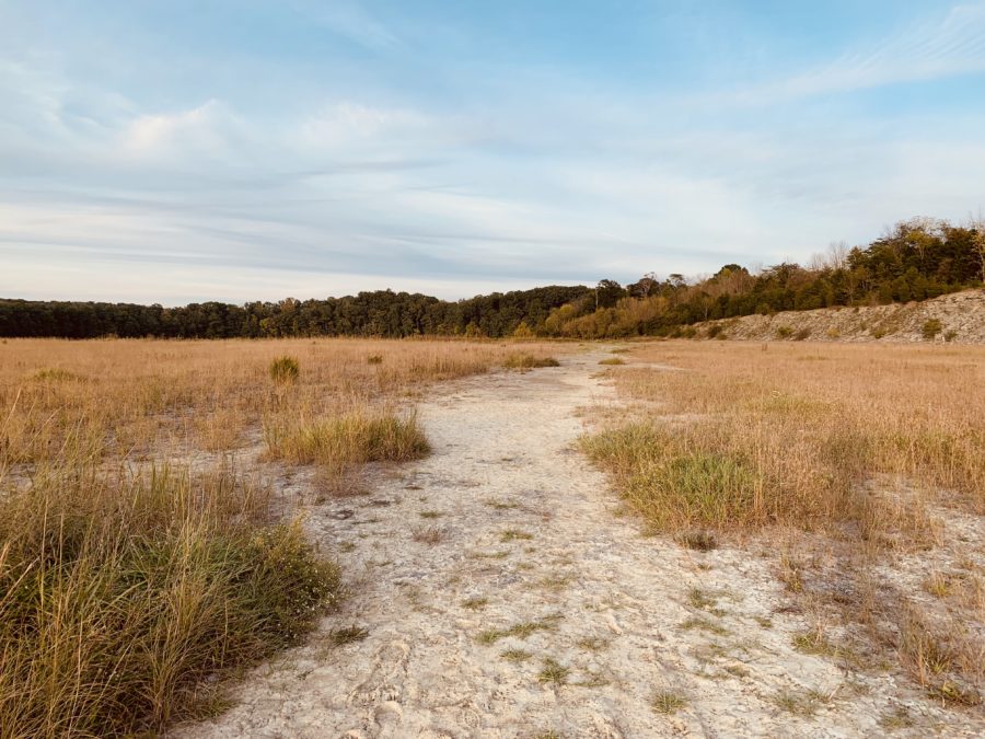
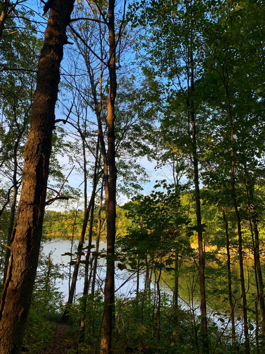
Okay from the spillway, I followed the not-so-visible walkway that led to the forest. It looked like this:
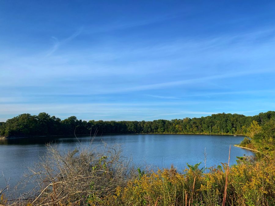
There was a big lake further away. I saw boats and people fishing.
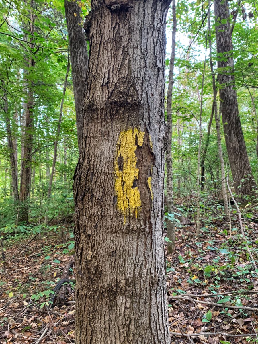
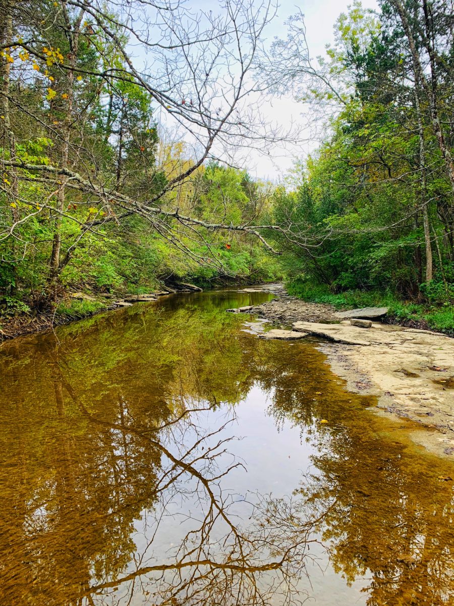
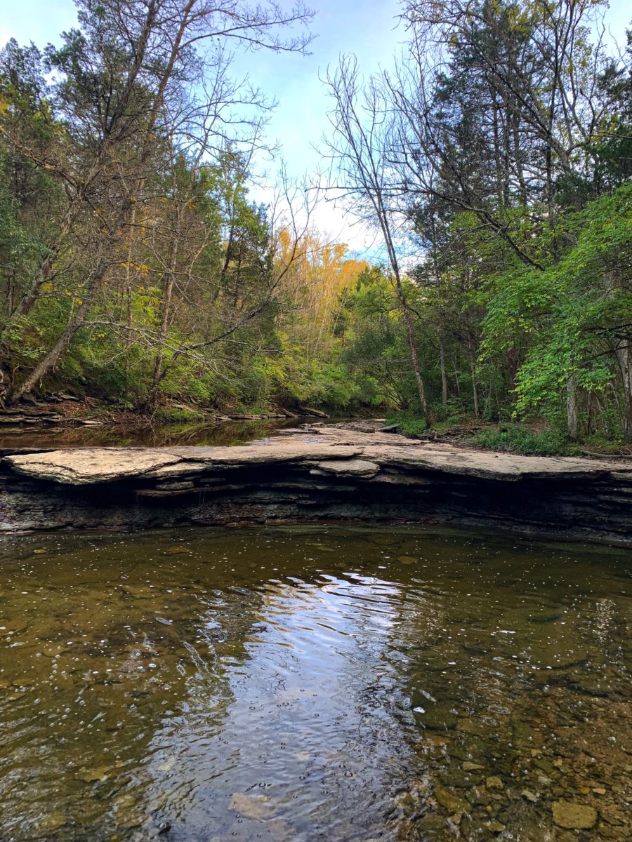
From there, the falls would be about a mile away. The trail winds through the forest. I saw yellow paint marks on some trees along the trail, then realized that those marks would lead me to the falls. Thus, follow the marked trees.
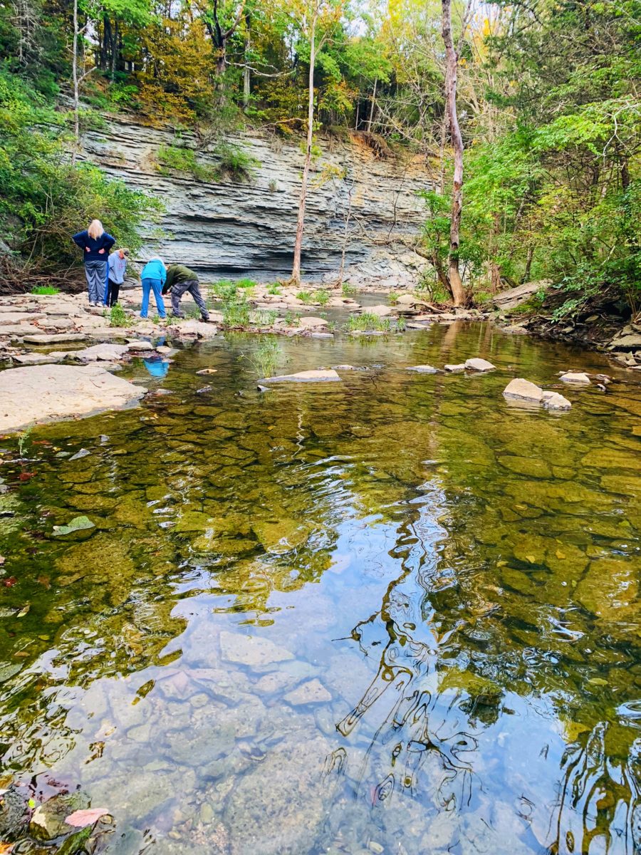
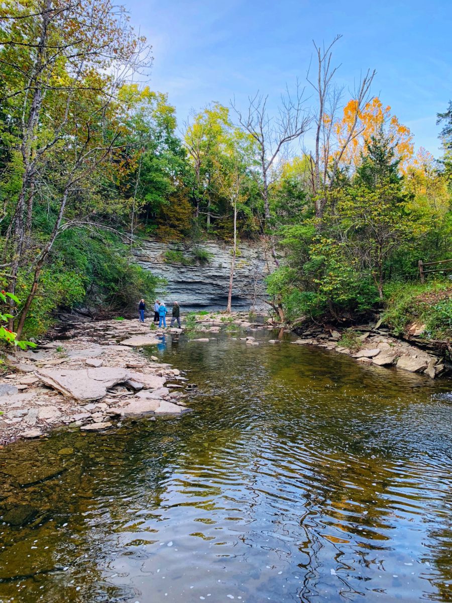
I continued walking until I heard the sound of water falling. There was a small path that led down to the Horseshoe Falls below. Note: The path was quite steep for someone not used to going down slopes. I had to help a lady as she held on to the tree trunks.
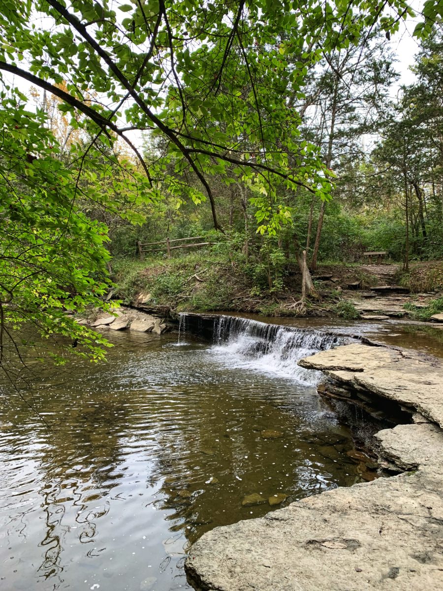
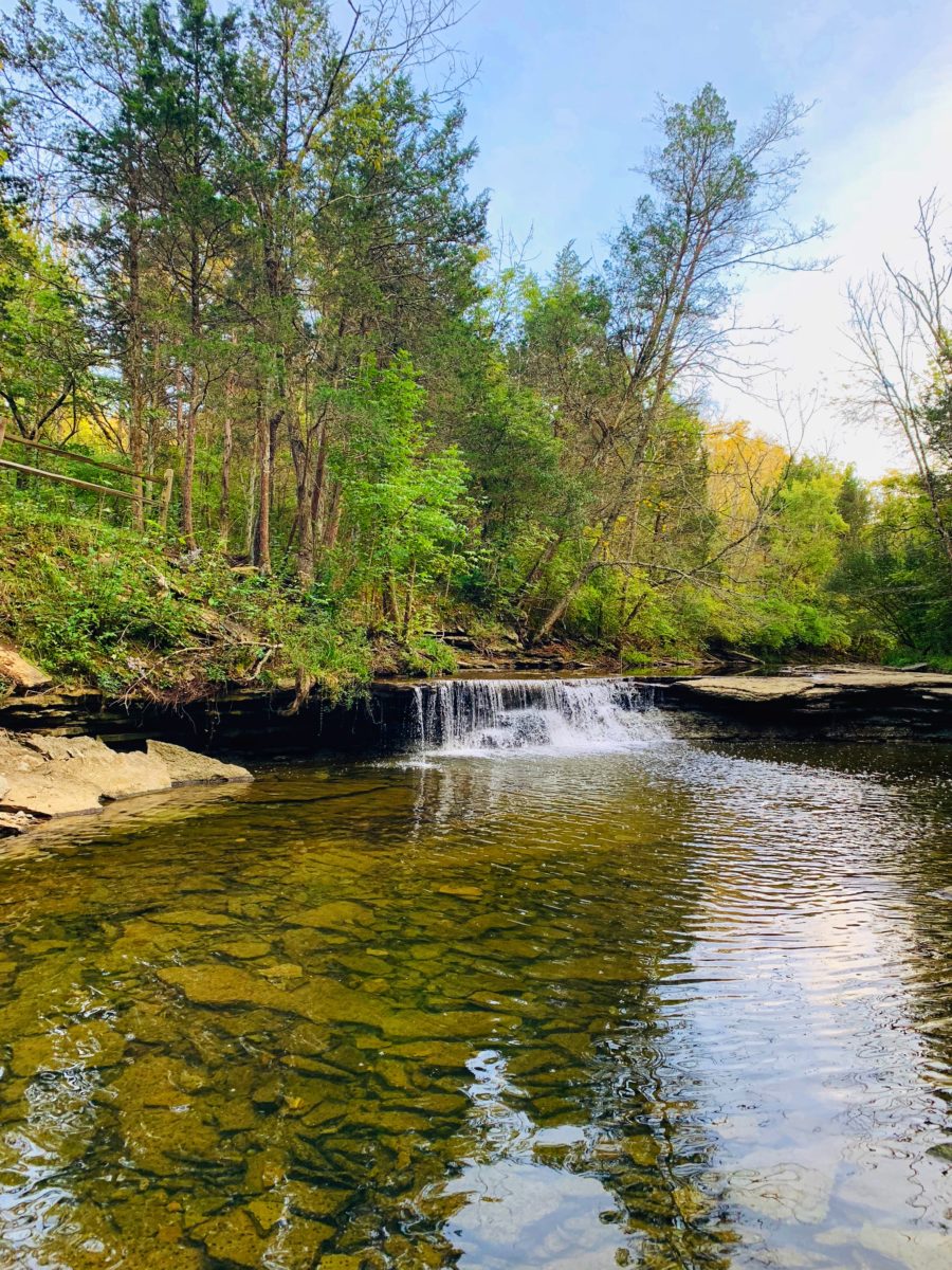
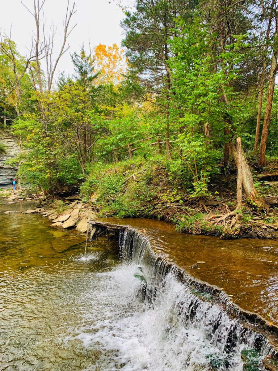
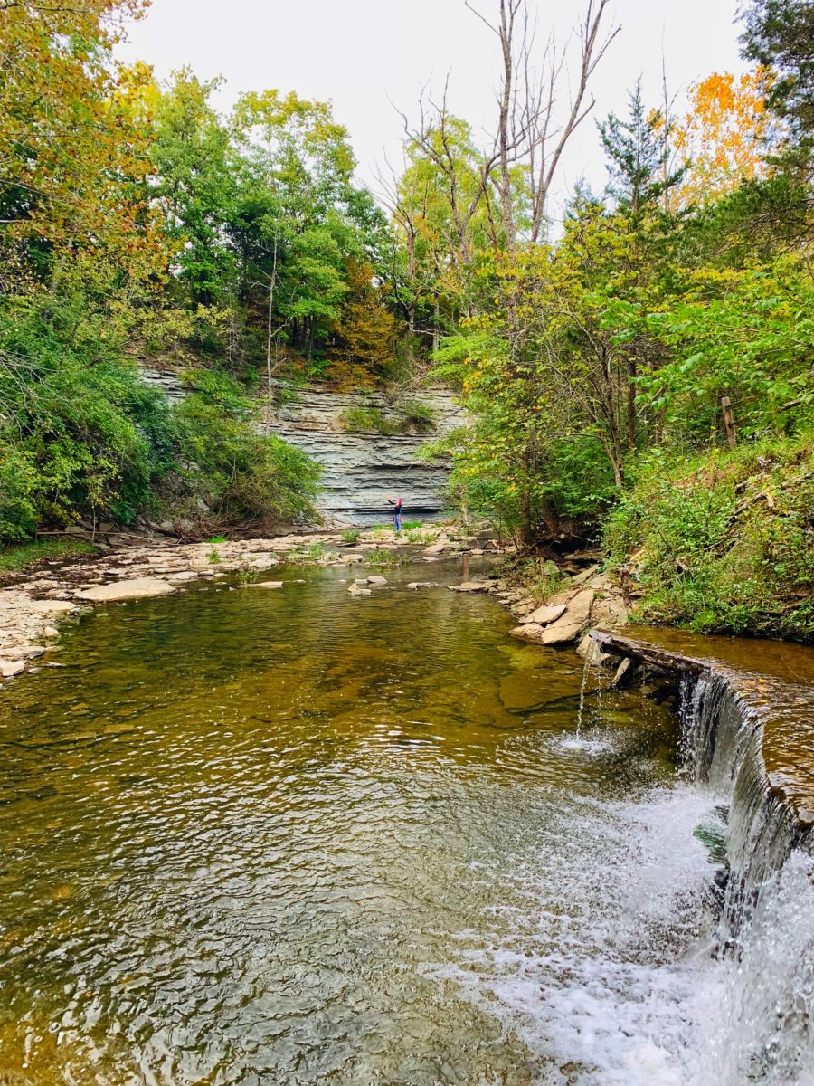
The Ohio Horseshoe Falls was not impressive as the others I’ve visited in Ohio. But it was differently beautiful. It was a short fall but it did have this horseshoe shape, thus the name. The changing colors of the leaves along the river banks made the scene at the waterfalls even much more exquisite.
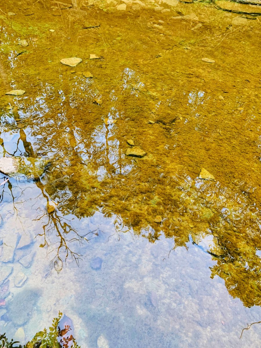
See the photos I took:
Where to Find the Entrance of the Horseshoe Falls
Caesar Creek Emergency Spillway
Lincoln Rd, Waynesville, Ohio 45068
For GPS: Open Google Map Link
See the Falls in 360 Degrees
Use your mouse to scroll through the photo.
Tips
– Come prepared. Wear comfortable hiking shoes.
– Fall season is the best time to visit the Horseshoe Falls.
– During hot summer days, bring bottles of water.
– If you walk further following the same trail, you will reach an old village.
Video Clip
See more travel search tags: Ohio Travel, Ohio, Western Ohio, Travel Western Ohio, Nature Preserve, Ohio Attractions, Things to See in Ohio, Unique Things To See in Ohio, Places to See in Ohio